Update
NPF’s ParkVentures Program Awards $2.2 Million to Affinity Groups
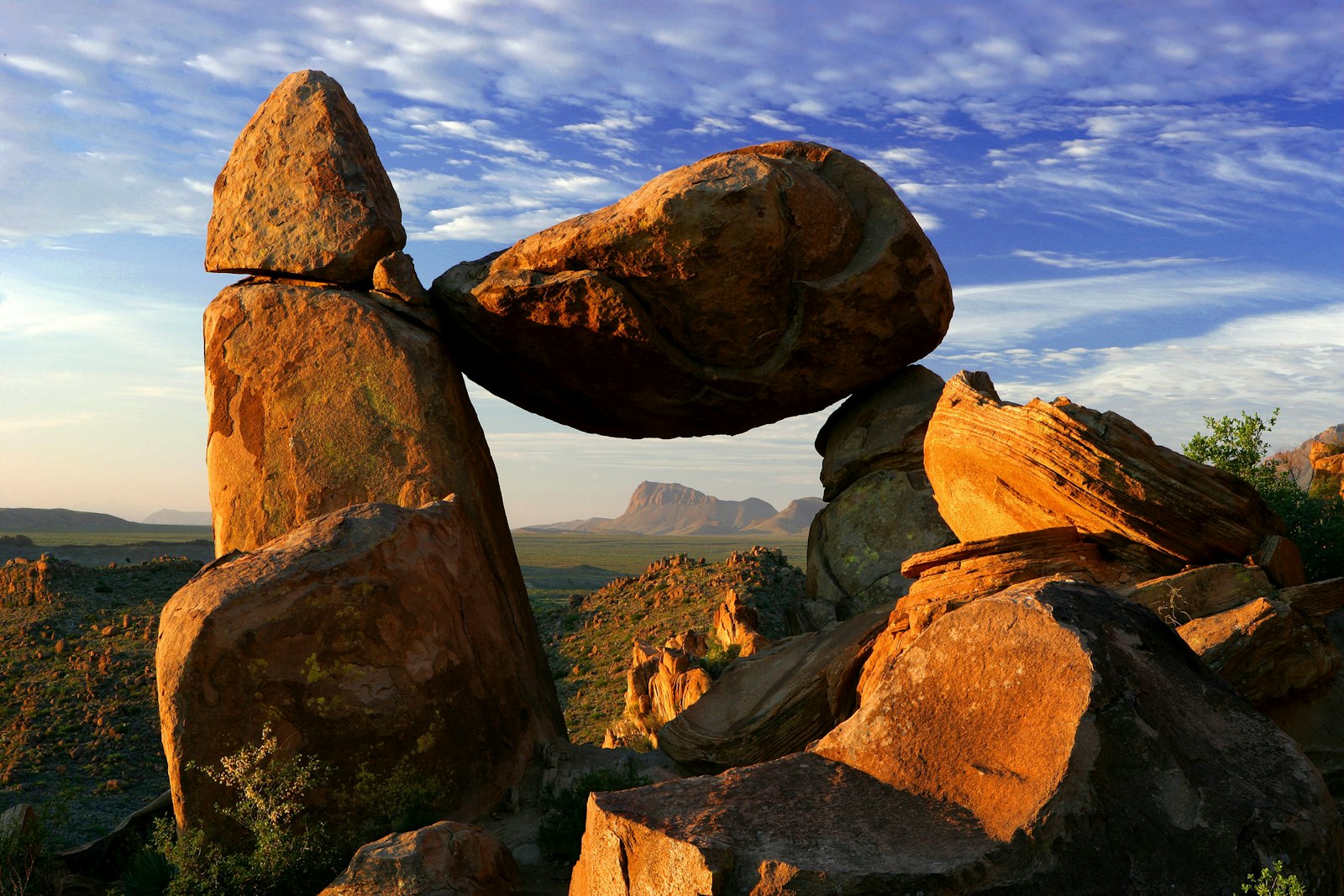
Big Bend National Park

This looks like the very edge of the world.
Perfect Solitude
Deep river gorges sparkle down below. Canyons cut through the isolated Chisos Mountains. The Rio Grande
tranquilly passes through West Texas, through space and time, carrying the secrets of millennia in her waters.
Big Bend offers plenty of activities for visitors of all ages. The park boasts 150 miles of hiking trails
through mountainous desert terrain and along rivers.
Visitors will be drawn to geological structures that date back millions of years, as well as 1,200 species of plants and 450 species of birds. Additional park activities include scenic drives, programs led by Big Bend park rangers, and stargazing.
Big Bend National Park is located in the southwestern part of Texas along the Texas-Mexico border. Big Bend was established as a national park in June of 1935, preserving the largest tracts of Chihuahuan Desert topography and ecology in the United States.
The park is comprised of 1,252 square miles of land, making it larger than the state of Rhode Island. Within Big Bend National Park are numerous geographical contrasts. These include the vegetation belts along the Rio Grande, the sparseness of the Chihuahuan Desert, the peaks of the Chisos Mountains, and the limestone outcrops of Persimmon Gap and Boquillas Canyon.