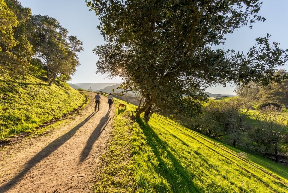
Land Conservation
In addition to the more than 400 national park units, the National Park Service also protects and manages the nation’s most iconic rivers and trails linking states and regions across the country as part of the National Trails System and the National Wild and Scenic Rivers System. From the majestic Appalachian National Scenic Trail to the subterranean Wild & Scenic River Styx, protecting these public lands and waters is critical to preserving their breathtaking landscapes, complex corridor ecosystems, and popular recreational spaces. Thanks to grants from the National Park Foundation (NPF), over 20 rivers and trails will receive funding to support priority initiatives. This new grant effort aligns with the 55th anniversaries of the Congressional Acts that created the National Trails System and the National Wild and Scenic River Systems.
Like all national park sites, national rivers and trails are facing mounting challenges, including increased visitation, inconsistent funding, the impacts of climate change, and more. Grants from NPF are supporting a multitude of needs and projects, from preserving cultural resources to enhancing public access to bolstering Indigenous connections. These projects will help ensure the resilience of these cherished places by accomplishing essential projects and preserving these natural places for present and future generations.
Alagnak, Aniakchak, Chilikadrotna, Mulchatna, and Tlikakila Wild Rivers will create a framework for water quality monitoring at 5 remote rivers in Alaska through the purchase of dedicated equipment and the development of training materials to share with partners, staff, and community members.
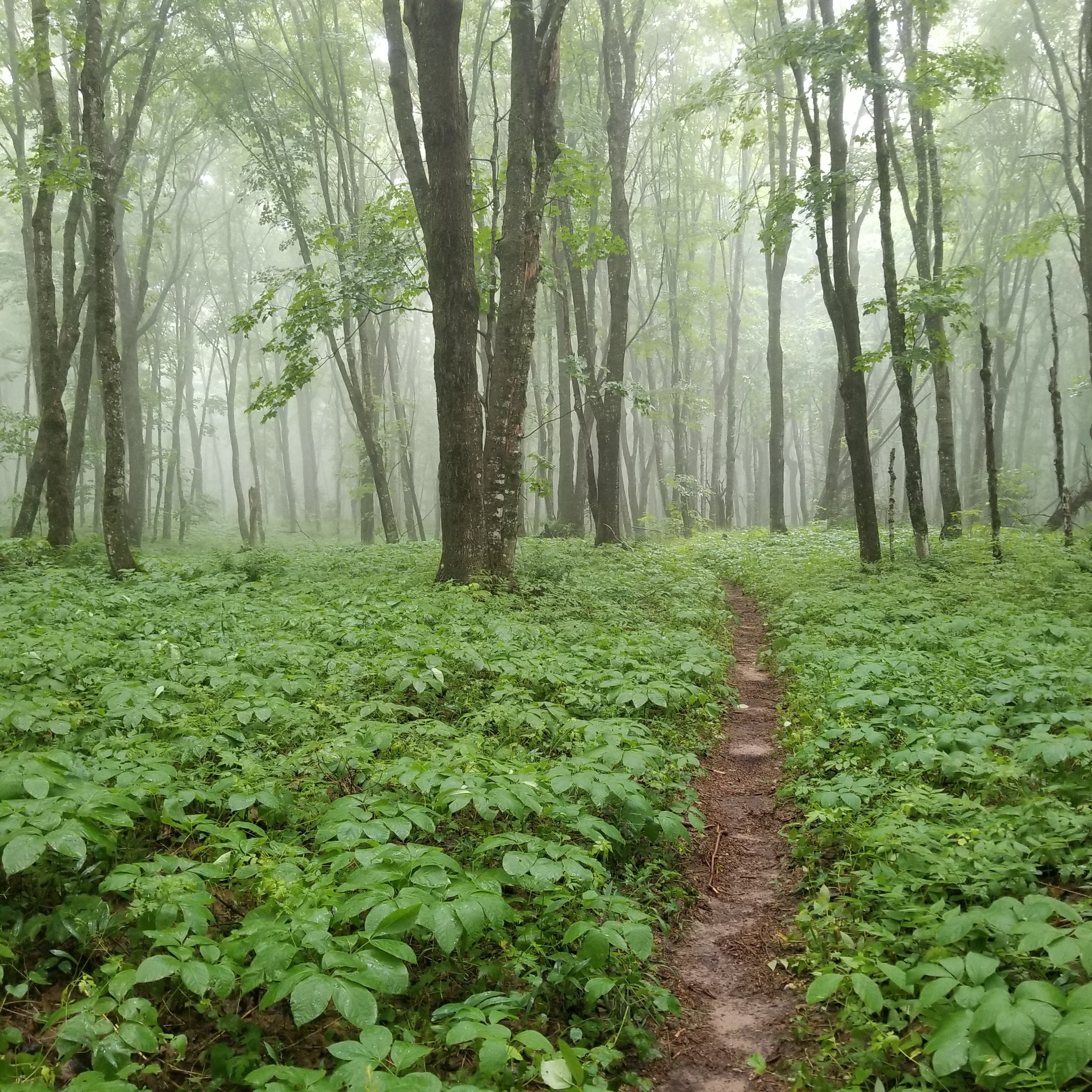
Appalachian Trail Conservancy will develop a community network strategy to improve their Appalachian Trail Community™ program, informed by research of communities surrounding the Appalachian Trail and their highest priority needs, to support sustainable economic development and community conservation.
Big Bend Conservancy will undertake a river clean-up project along Rio Grande Wild & Scenic River, with a weeklong rafting clean-up trip, covering approximately 70 miles of river that sees the most accumulation of trash due to flood wash leaving debris. The project will also install animal safe food lockers at a popular campsite to prevent wildlife from spreading trash along the waterway.
Friends of Niobrara Scenic River will improve the accessibility of the Niobrara National Scenic River by installing an accessible canoe launch at Smith Falls State Park, as well as rehabilitating the existing accessible canoe launch at Fort Niobrara National Wildlife Refuge.
Friends of the Wekiva River will closely monitor declining eel grass and submerged aquatic vegetation in the Wekiva Wild & Scenic River, the loss of which poses a significant threat to the habitat of West Indian manatees, turtles, and fish. This project will develop detailed maps and analyze the river’s existing resources to ensure the survival of migrating manatees!
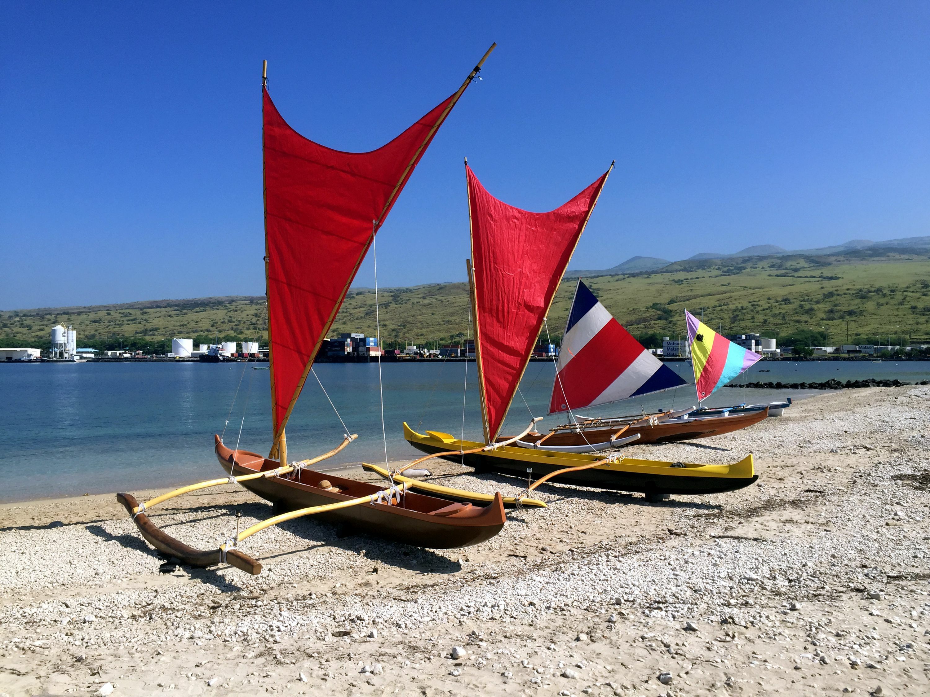
Hōʻala Kealakekua Nui, Inc. will support the Ala Kahakai National Scenic Trail by hiring a project lead to support restoration and preservation efforts of the Hana Lima (“Working Hands”) program, which educating volunteers on cultural traditions while restoring the trail, removing invasive vegetation, and planting native plants. In addition, this Hoa Aina (“boots on the ground” position) will conduct cultural research through kilokilo (visual observations) with a focus on the Hikiau Heiau (ceremonial temple) and other sensitive areas.
Ice Age Trail Alliance will support its 19 volunteer chapters with much-needed training, maintenance events, and equipment purchases to keep pace with increased pressure on the Ice Age National Scenic Trail due to increased use and extreme weather events.
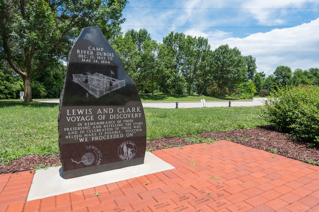
Lewis and Clark National Historic Trail will provide visitors and web-users with new engaging and culturally sensitive interpretive materials on climate change through the lens of the Lewis and Clark Expedition. The project will utilize the meticulous documentation from the expedition’s 200-year-old journals that cataloged the era’s climate, ecosystems, and land cover, and compare this data to the landscape of today as it relates to climate change.
Living Classrooms Foundation will inform and excite Baltimore students and teachers about the Star-Spangled Banner National Historic Trail and the diverse people, places, and stories that contributed to Baltimore’s unique role in the War of 1812. The project will include teacher training, on-water voyages for students, and student-created projects.
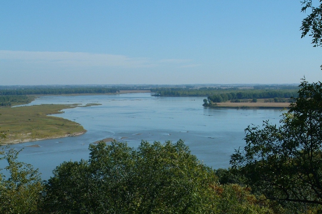
Missouri National Recreational River will make necessary updates to the river’s Mobile Ranger Station, allowing park staff to expand services throughout the river’s long linear footprint. The updates will make the Mobile Ranger Station more accessible for those with limited mobility and sight, upgrade its technology, and make cosmetic repairs to reflect current educational and visitor needs.
The Musconetcong Watershed Association will improve recreational safety and access on the most popular segment of the Musconetcong National Wild and Scenic River through the construction of a boat ramp up-river of the Asbury Mill dam, signage showing the portage route, definition of an informal parking area, and a floating boat launch in the Asbury Mill Interpretive Center’s mill race.
The Nashua River Watershed Association will help the Nashua, Squannacook, and Nissitissit Wild & Scenic Rivers ensure the river waters are safe for people and healthy for aquatic life through undertaking water sampling and leachate characterization, providing safe opportunities for swimming, fishing, boating, and outdoor classrooms.
Noatak Wild & Scenic River will undergo the last year of fieldwork in a 3-year project to research Native place names and their relation to caribou hunting and migration. Research involves archival research and ethnographic fieldwork, boating up the Noatak recording place names and stories with elders. Through this effort, the river expects to better understand threats and further define what makes up the subsistence opportunities for Noatak residents.
North Country National Scenic Trail will provide a standardized chainsaw training program, as well as the necessary personal protective equipment, for volunteers across eight states and 4,800 miles of the trail to ensure the trail is safe and open for users.
The Northern Virginia Regional Commission will undertake a regional interpretation enhancement project for Potomac Heritage National Scenic Trail to fill gaps in awareness of and engagement with the trail. The project will include new wayside panels, educational brochures, and a ribbon cutting event to promote the trail.
NPS' National Wild & Scenic Rivers System, and National Trails System will establish an 11-month fellowship project – partnering with the Hispanic Access Foundation for recruitment and mentorship – to focus on the creation of an annual reporting framework for both the National Wild & Scenic Rivers System and National Trails System to capture and share important metrics on these systems.
The Natural Resources Trust of Bridgewater will work with other local partners to construct a 1.8-mile, natural surface pedestrian trail adjacent to Taunton Wild & Scenic River. The trail will be built on a permanent trail easement on Massachusetts Department of Corrections land, and will include 8 bridges, 200 feet of raised boardwalk, 1,000 feet of bog bridging, and 10-car trailhead parking areas, allowing access to the river and its recreational opportunities.
Oregon Caves National Monument & Preserve will assess the impacts of climate change and the resilience of the Wild & Scenic River Styx, the nation’s only subterranean Wild & Scenic River. Two interns will conduct and assist park scientists in the monitoring project, using NPS’ Climate Change Response Strategy, ultimately producing a long-term monitoring plan for this unique river.
The Overmountain Victory Trail Association will partner with multiple organizations to complete a master development plan for Overmountain Victory National Historic Trail. This is the last of 10 planning sections stretching across the entire trail, and it will be the first time the NC State Trail will play a significant role in the development of the plan with local input and cooperation.
The Research Foundation for the State University of New York will bring Indigenous youth from Haudenosaunee communities – including members of the Eel Clan – to Upper Delaware Scenic & Recreational River for an eel camp. The project will aid in the recovery of a remarkable relationship between humans, water, and fish using a biocultural approach in partnership with Indigenous peoples.
The Salinas Valley Tourism and Visitor Board will research, design, and disseminate an interpretive travel itinerary along the 25-mile stretch of Juan Bautista de Anza National Historic Trail in the Salinas Valley. This new driving guide will interpret how humans have reshaped the natural environment in this storied landscape prior to and since the Anza expedition of 1775/1776.
Stonington, Connecticut will convert a 5.6 parcel of vacant land – locally referred to as the “Circus Lot” – into a much-needed outdoor recreation space for people of all ages and abilities along the Wood and Pawcatuck Wild & Scenic Rivers. The completed space will include walking trails, a sports field, a playground area, and public access to the water.
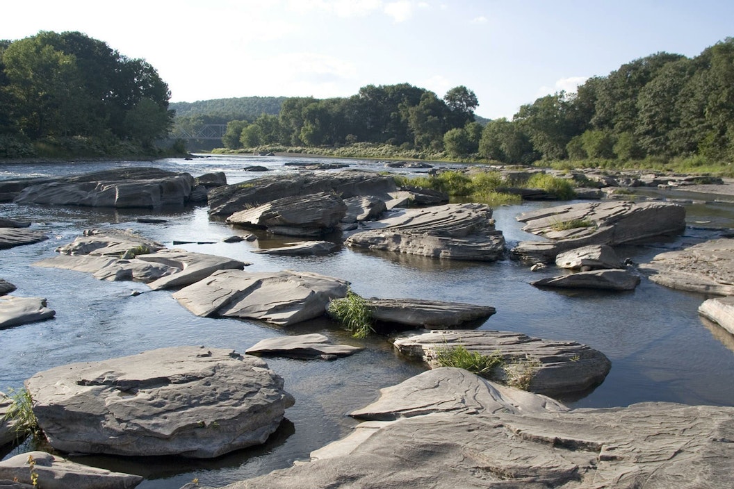
Sul Ross State University will study the groundwater contributions to Rio Grande Wild & Scenic River from numerous springs, as well as the potential impacts on the sensitive Lower Canyons from upstream human activities and climate change. Measurements will be taken on an 8-day canoe trip for students through the Lower Canyons which are not accessible by vehicle.
The Trust for Public Land will partner with NPS and the local community to acquire a 200-acre conservation easement along the Appalachian National Scenic Trail and within the Tyringham Shaker Settlement Historic District in Tyringham, MA. The easement will protect the historic viewshed and provide a buffer to the trail, while protecting a critical climate corridor.
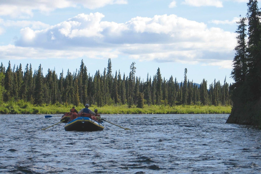
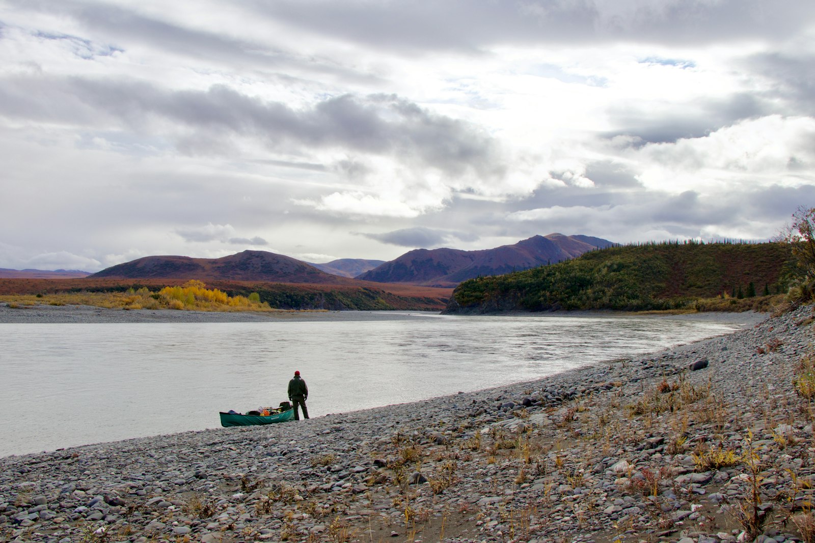
Whitewater rafting in Class I-III rapids, kayaking, fishing, and floating are some of the activities enjoyed by adventure-seekers on vacation in Alaska.

Thru-hiking the Appalachian Trail is on many serious hiker's bucket list, but the AT also has great day hikes and campgrounds for hikers of all levels.
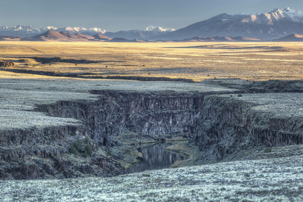
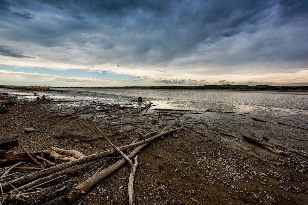
Rio Grande Wild and Scenic River is a playground of rapids and three separate canyons, and includes float trips, canyon hikes, and rare wildlife species.
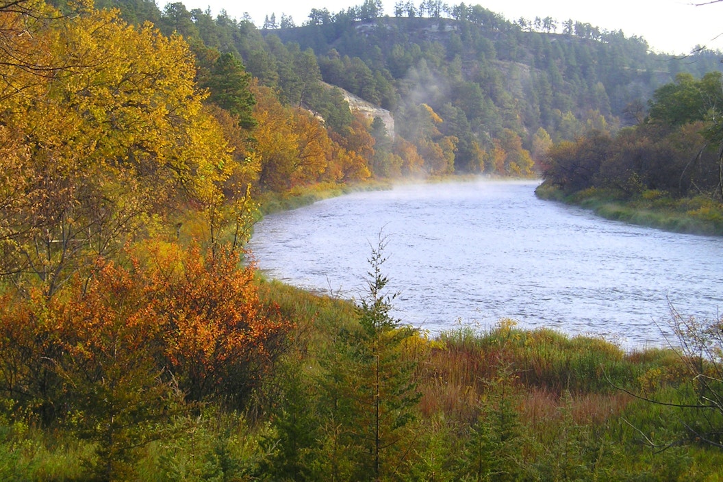
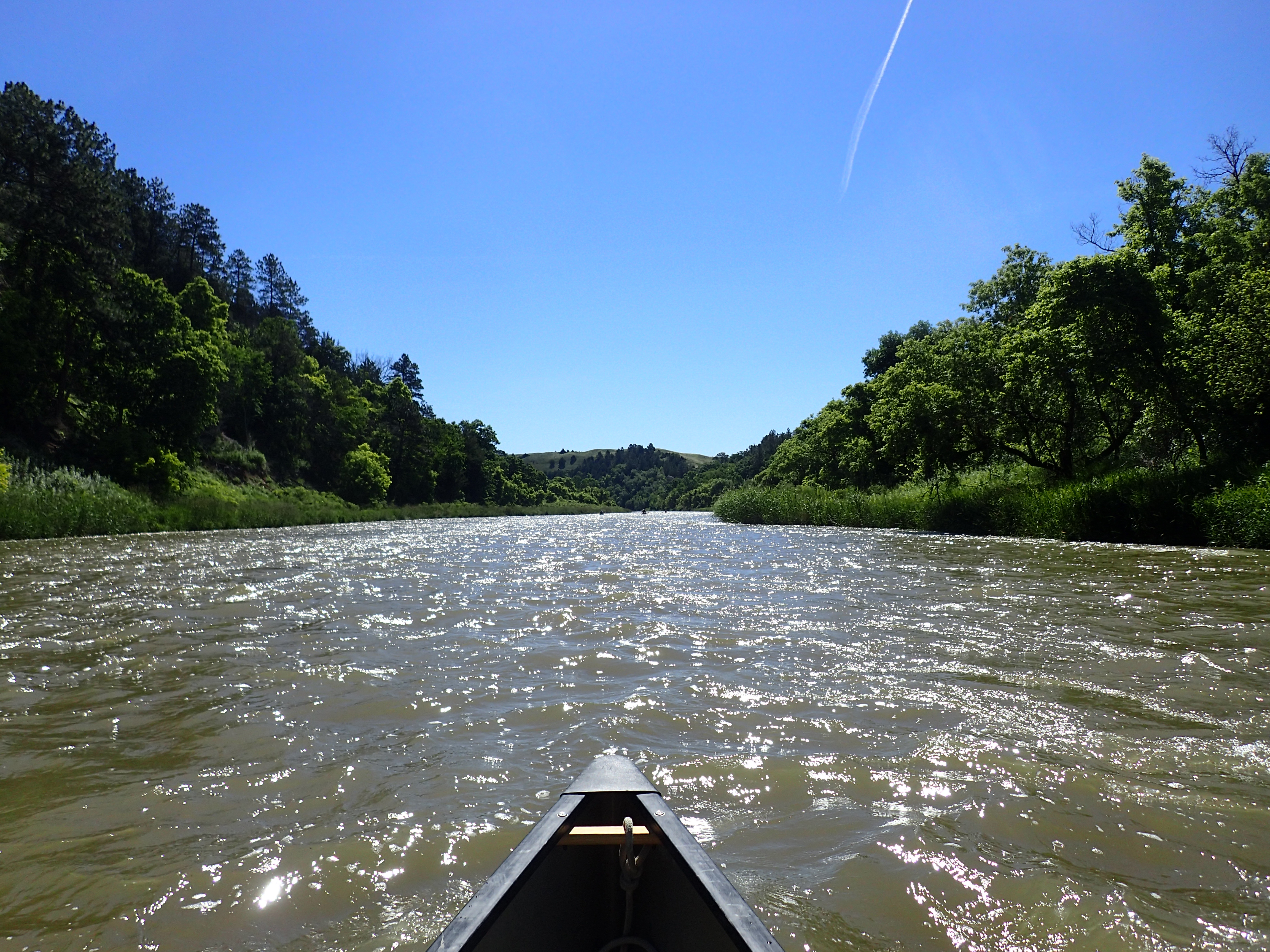
The Niobrara National Scenic River enjoys high water quality, diverse life, and fossil-filled sandstone cliffs.
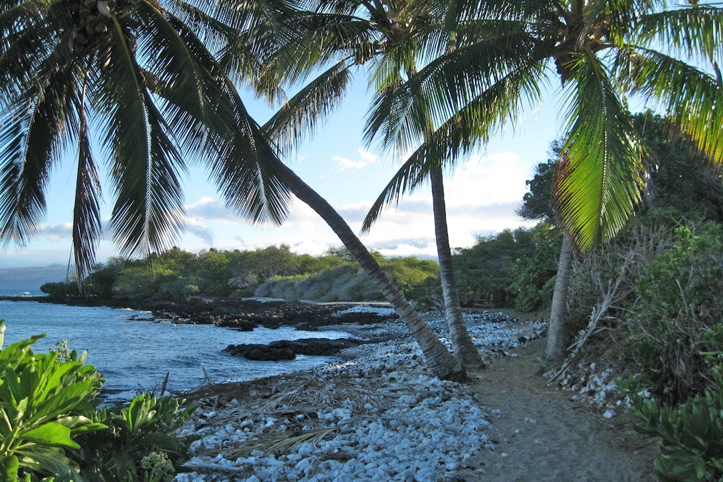
Established in 2000 for the preservation, protection, and interpretation of traditional Native Hawai'ian culture and natural resources, Ala Kahakai offers visitors a trail network of cultural and historical significance to explore.
From a dynamic river to wandering wildlife, Missouri National Recreational River is perfect for families who want a vacation full of education and exploration.
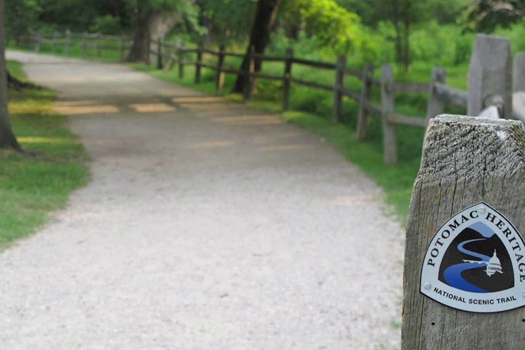
Potomac Heritage National Scenic Trail network follows the paths explored by George Washington.
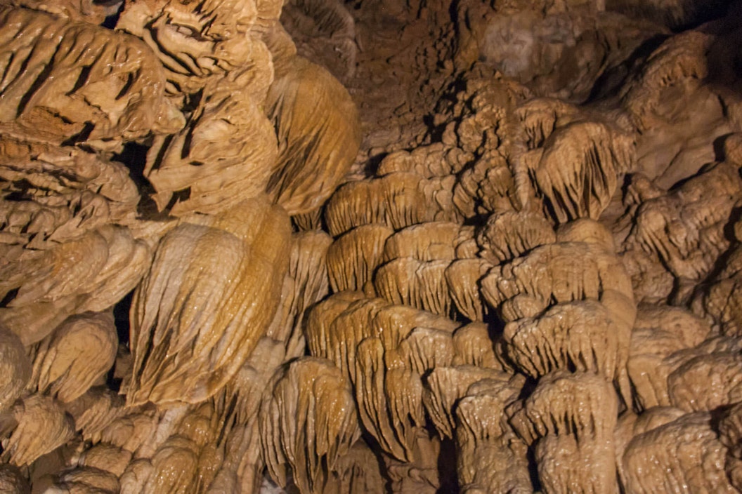
Termed Oregon's Marble Halls, Oregon Caves National Monument features complex marble cave systems, rare plants and animals, and outdoor adventures.
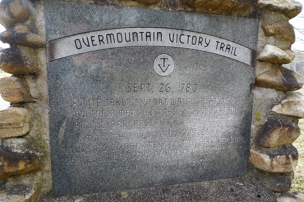
Overmountain Victory National Historic Trail expands four southern states and traces the Revolutionary War patriot militia route taken in 1780.
Upper Delaware Scenic & Recreational River is among the top fishing rivers in the United States.
Juan Bautista de Anza National Historic Trail captures the leadership and independent spirit of Captain Anza, who led over 300 people to freedom.